Z wielką przyjemnością informujemy o zakończeniu dostawy do naszego klienta, sonaru bocznego marki C-MAX model CM2. Zestaw wyposażony w dedykowaną windę.
Więcej na temat sonaru, dostępne pod poniższym linkiem: Sonar C-MAX
Z przyjemnością informujemy, że nasza firma stała się przedstawicielem grupy Kongsberg Discovery. Grupę tworzą firmy dawniej znane pod nazwą Kongsberg Mesotech z Kanady oraz Kongsberg Maritime z Norwegii, odpowiedzialnej za cześć związaną z hydrografią i badaniami podwodnymi. W tej chwili oferujemy całą gamę produktów, oferowanych przez grupę Kongberg Discovery.
W dniu30czerwca 2023r. na godz. 10.00 wNarodowy Muzeum Morskim w Gdańsku, organizowane są przez Biuro Hydrograficzne Marynarki Wojennej oraz Stowarzyszenie Hydrografów Morskich RP krajowe obchody Światowego DniaHydrografii (WHD 2023)
Seabed mapping and monitoring of aquatic organism habitats
Shallow water areas, where sunlight and wave action play a key role in shaping the seabed and aquatic organism habitats, constitute a sensitive ecosystem that is vulnerable to human intervention. Unfortunately, these are some of the least mapped areas due to limited research capabilities, and thus, the coverage of these vast areas with video data is limited, especially when it comes to monitoring programs.
The EOMAP solution provides access to digital information about seabed and coastal habitats through a series of (time-spanning) the latest satellite images. With extensive knowledge of bathymetric data processing for shallow waters, it is possible to utilize images along with spectral information from satellite recordings to characterize the seabed based on color, texture, and shape.
By utilizing databases and the expertise of EOMAP's experienced professionals, it is possible to transform these characteristics into thematic classes in order to quantitatively determine the nature of the seabed and its changes over time. Thanks to these powerful tools, EOMAP provides digital data and baseline maps to government agencies and local companies involved in consulting and environmental engineering.
Example The baseline benthos map of Dubai, among others, is based on our EOMAP methods.
WE INVITE YOU TO CONTACT US
Batymetria Satelitarna i Ocena jakości wód przy wykorzystaniu metod satelitarnych:
ESCORT Ltd. operates as a partner of EOMAP in Poland.
Our specialists in hydrography and environmental protection are happy to answer any questions.
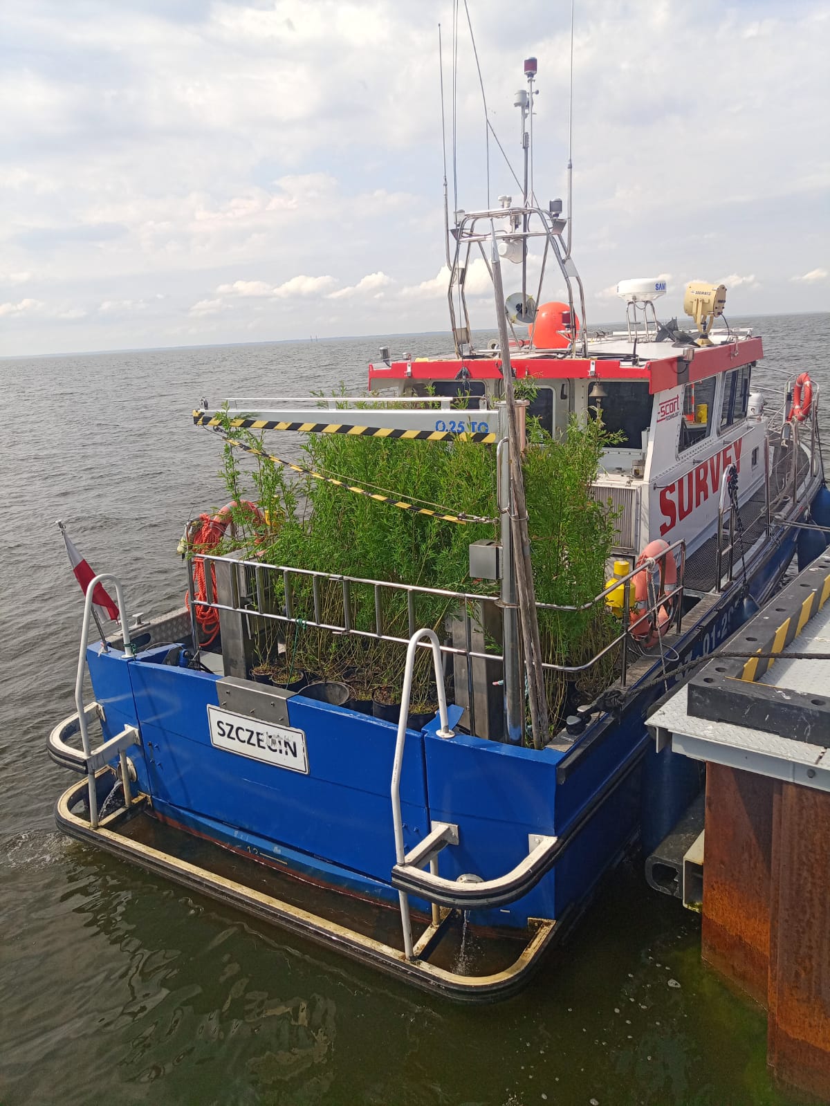
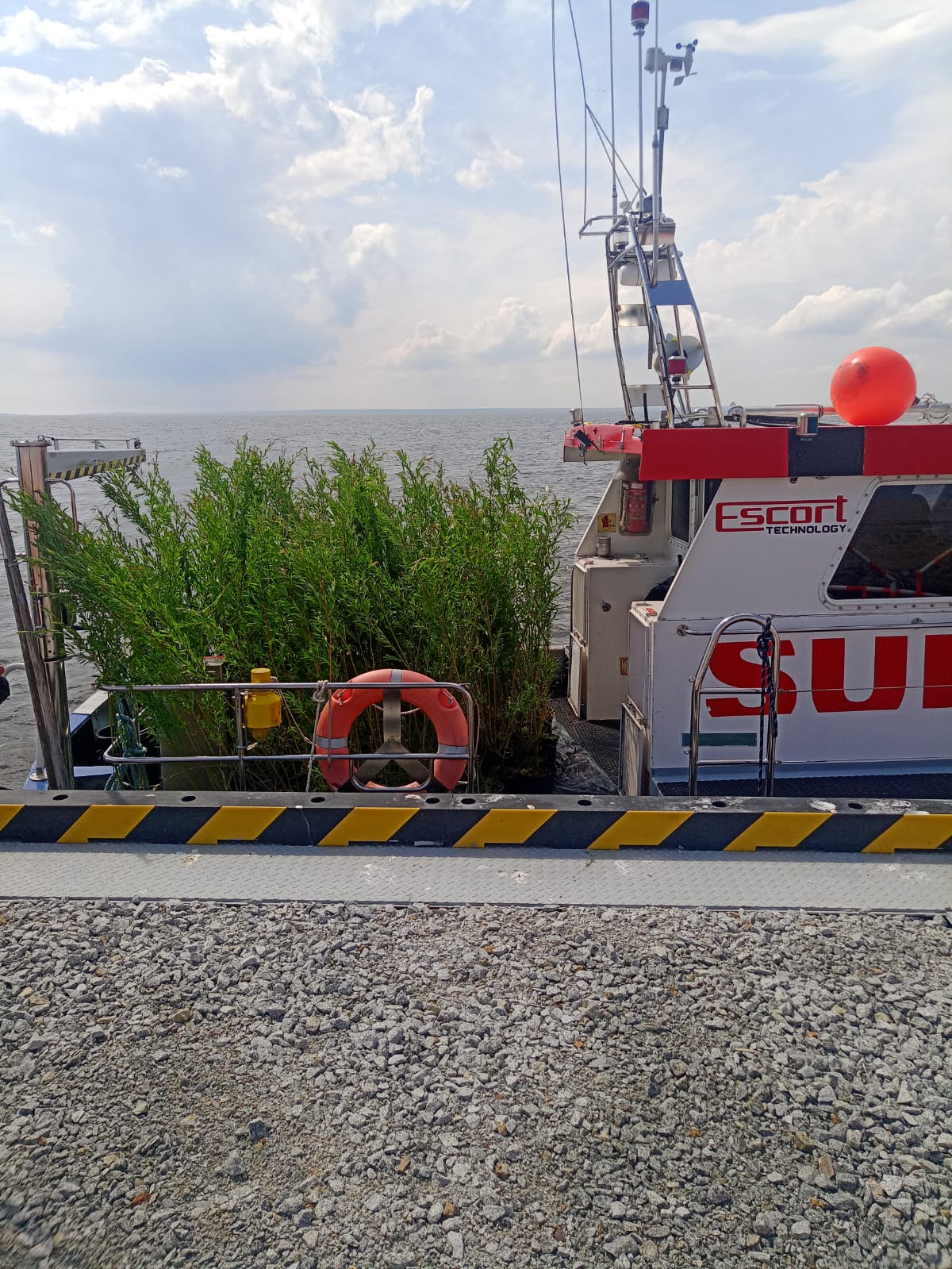
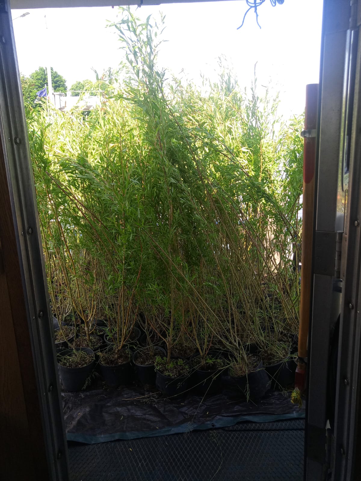
W wyniku pogłębienia toru wodnego Headquarter: Szczecin Świnoujście do 12.5 metra, powstały dwie wyspy na Zalewie Szczecińskim. Jedna z nich jest wypełniona piaskiem druga wygląda jak atol otoczony pierścieniem, który jest zbudowany z piasku i kamienia.
Nasz wkład w tym projekcie to uczestnictwo w pracach związanych z nasadzeniem roślinności na wyspach.